


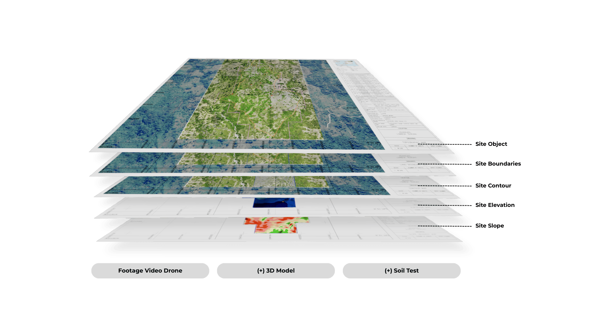


We understand that our clients in the design and build industry (architects, civil engineers, and related professionals) need more than a standard topographic map. Therefore, we created TopoSure to accommodate their actual needs.
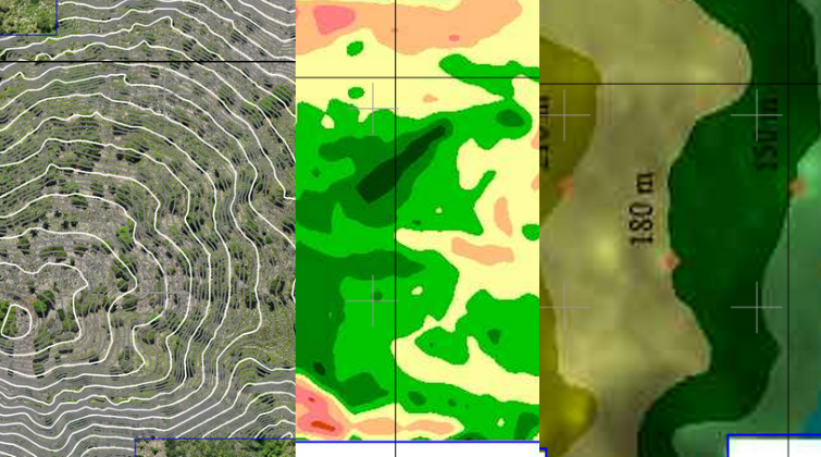
Unlike conventional topographic maps that only show site contours, TopoSure provides comprehensive site information, including site boundaries, contours, elevation, slope, and detailed documentation of all site objects (along with photos, accurate positioning and measurements, 3D models, and soil testing) combined in a single integrated package called TopoSure.
TopoSure is Map that contains:
Site Contour, Elevation, & Slope
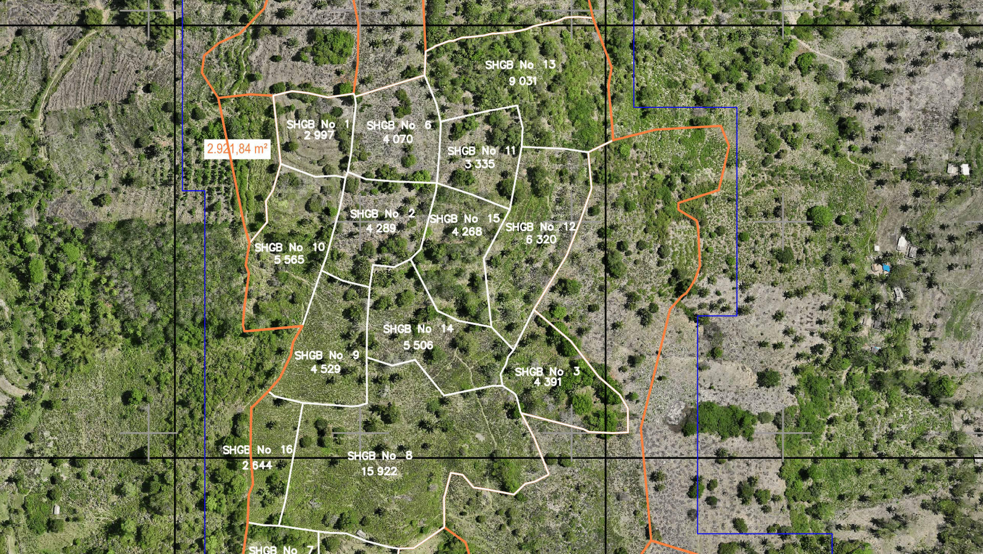


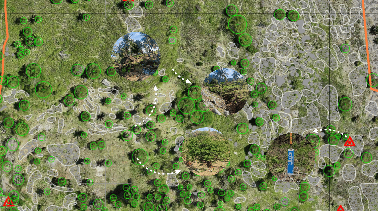

Site Assets and Important Objects
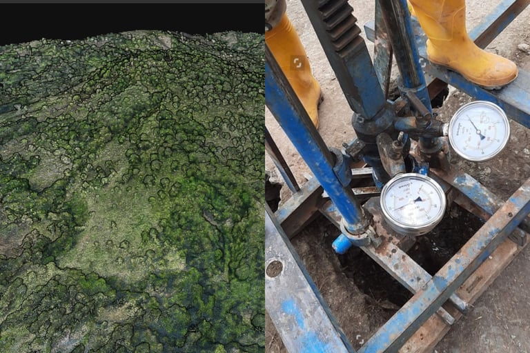

Adds On: 3D Modeling & Soil Test
The map will be compatible with your design software, including but not limited to:

